- This event has passed.
2020 GIS in Education and Research Conference
March 4, 2020 - March 5, 2020

This biennial conference offers opportunities for GIS educators and researchers and student researchers in Canada to come together, share experiences, build networks and learn from each other in an organized forum. Together, these participants will build a stronger Canadian GIS education and research community.
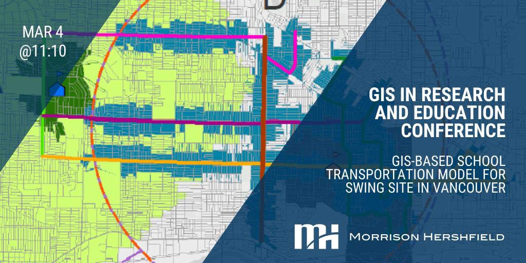
Presentation: GIS-Based School Transportation Model for Swing Site in Vancouver
Wednesday, March 4th at 11:10 am – Location: Great Hall, Hart House
Since 2016, the Vancouver School Board (VSB) has been fast-tracking school seismic upgrades and replacements. Replacements require temporary accommodation of students to off-site ‘swing’ facilities. Case in point, the Killarney Secondary (largest high school in Vancouver) will be relocated to the Eric Hamber School site. Transportation options to/from the swing site become critical. Since the VSB does not have a school bus program, the City is concerned that a large number of parents may drive children to the ‘swing’ school. The VSB rely on available transportation options including, driving, transit, cycling, and walking. A GIS-based model was developed to estimate travel mode shares, based on student’s location (point-data), travel times (Google), and accessibility to bus routes. A probable scenario identified 65% transit trips, followed by 34% vehicles, and 1% walking/cycling trips. Results also yield potential ridership uptake of key bus routes for transit planning purposes.
Presented by: Andres Baez Rodriguez, Transit Planner and May Panikom, GIS Specialist